
Live water levels at six key points along the Danube, from Bavaria down to the lower Danube, so you can see at a glance whether the river is comfortable, running low, or running high for your river cruise. It is updated every day by Bespoke Amsterdam Experiences and written in plain language, not shipping gauge numbers, so you can check your stretch in seconds.
Sailing the Rhine as well? See our live Rhine water levels →
● Updated 14 October 2026 (Amsterdam time)
A long summer heatwave has left the Danube running low this year, and lines such as Viking, Avalon Waterways, AmaWaterways and Riviera Travel are already adapting: swapping ships, adjusting itineraries or adding short coach transfers around the shallowest stretches. It almost always means a re-route rather than a cancellation, so check the live readings below and confirm the plan for your sailing date with your cruise line.
six key points from the Black Forest to the Black Sea, each showing today’s water level for cruising.
Water levels last updated: 14 October 2026 at 20:00 CEST.
These are class-typical estimates, not certified figures for any one ship. Whether a vessel can pass at a given level depends on its exact height, how it is loaded, the specific bridge and the live water level. The decision always rests with the cruise line and captain, made per sailing. This tool is only meant to give an idea.
Two things can stop a cruise. When the water is too low, there is not enough depth under the keel and ships must lighten, reroute, or bus guests past the shallow stretch. When it is too high, the gap under the bridges shrinks and, even with the wheelhouse folded down, a ship cannot pass until the level drops. The depths shown in the tool above are class-typical estimates, not certified figures for any one ship: the real decision always rests with the cruise line and captain, made per sailing.
Every official gauge from the Bavarian Danube through Austria, Slovakia, Hungary, Croatia and Serbia, then down the Romanian lower river to the Black Sea, coloured by how much water is in the shipping channel against the official low and high navigation reference for each gauge (the RNW in Germany and the Danube Commission low and high levels further down). The stretches held back by dams (the Gabcikovo diversion and the Iron Gate reservoirs) are marked separately as regulated, since a level there is a dam-held pool, not a free-flowing depth. A few free-flowing gauges that sit between the official reference points are shaded to match their nearest reference.
Levels on the Danube matter for cruising because low water leaves too little depth under the keel, while high water shrinks the clearance under the bridges. They follow a clear seasonal rhythm — running highest in spring and early summer, fed by Alpine snowmelt, and dropping to their lowest in autumn. The chart below shows how the level at Budapest, one of the middle-Danube points where low water shows up first, moves through the year, so you can see when low water is most likely and how this year compares with a normal one.
Bespoke Amsterdam Experiences is rated 4.9 out of 5 from more than 3,000 guest reviews on Google, Tripadvisor, Airbnb and GetYourGuide, verified by Trustindex.
You are here to find out whether your cruise will sail. We cannot control the river, but we live at the Amsterdam end of it, and there is plenty we can take off your plate.
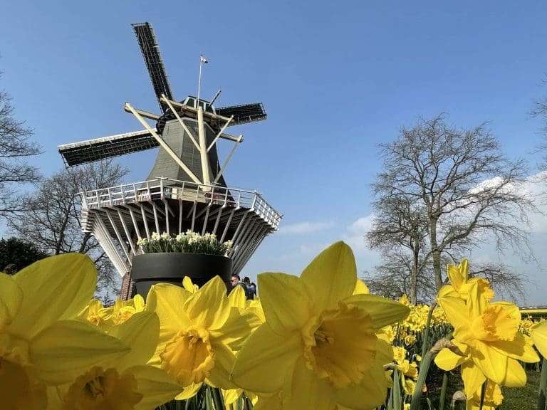 Private All Year Round Flowers and Windmills TourView this tour
 Private Anne Frank and Jewish History Walking Tour in AmsterdamView this tour
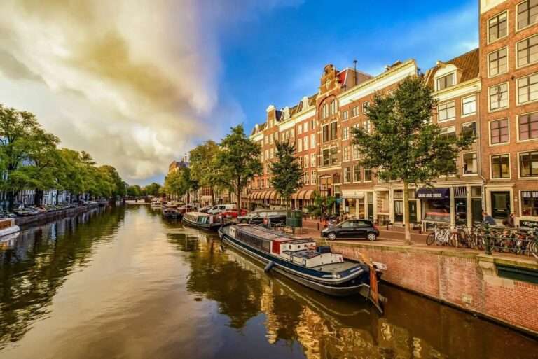 Amsterdam City Highlights Private TourView this tour
We are based in Amsterdam. We are not a cruise line and we do not sell cruise tickets. We just fix the days around them.
The whole route at a glance, from the Black Forest to the Black Sea. Most of the Danube is held at a steady level by a staircase of locks and dams, so low water is rarely a problem there. It is the few free-flowing reaches, where our gauges sit, that rise and fall with the weather and matter for cruising.
Almost every line that sails the Danube is affected by the same water, because they share the same locks, free-flowing stretches and low bridges. If your ship is with one of these lines, the readings above apply to your sailing. You can see which of these ships are calling at Amsterdam and Zaandam on our river cruise calendar, or find your own cruise by line and ship.
Lines that cruise the Danube include Viking, AmaWaterways, Avalon Waterways, Scenic, Emerald Cruises, Uniworld, Tauck, APT and Travelmarvel, Riviera Travel, Amadeus, Riverside, Viva Cruises, Saga, A-ROSA and CroisiEurope.
Your river cruise toolkit
Water level is measured at fixed gauges along the river. We follow the six that best describe conditions for cruising, from the Bavarian upper Danube down to the lower Hungarian reach. Each is shown as the depth of water in the channel, in metres, so all six can be read on one scale against their normal range for the season.
Cruise lines plan for this, and a change to the itinerary is far more common than a cancellation. When the river is too low, a ship may load fewer passengers, swap guests to a sister ship on the other side of a shallow stretch, or run part of the route by coach so you still see the highlights. When it is too high, the gap under the bridges shrinks; ships lower the wheelhouse to pass, slow down, and if the level reaches the official high-water mark the reach closes until it drops.
None of this is a reason to avoid a Danube cruise. It simply helps to know the signs, and to keep a private guide who can adapt on the day. If your ship’s plans change and you find yourself with time in Amsterdam or Zaandam, our private shore excursions are built around your ship’s actual schedule.
See where the rain is falling right now, and how the weather is shaping up for the days ahead.
Spring and early summer are usually the most reliable for water levels, with snowmelt keeping the upper river topped up. Late summer and autumn carry the most low-water risk, and deep winter the most high-water risk after long spells of rain. No past year predicts the next, so this page shows today’s reading against the seasonal normal rather than a scary comparison with a record year.
Whether your ship docks as planned or your itinerary changes with the water, we design private, flexible days ashore in Amsterdam, Zaandam and beyond, timed to your ship. Tell us what you would like to see and do, and we will plan it with you. Or browse our private shore excursions first.
Usually not outright. Through the 2026 low water, most lines (Viking, Avalon Waterways, AmaWaterways, Scenic and Riviera Travel) have kept cruises running by lightening the ship, swapping guests to a sister vessel beyond a shallow stretch, or bussing them past it, with full cancellations the exception. Watch the Pfelling gauge on the Bavarian upper Danube, the classic bottleneck, and confirm your exact ship and pier with your cruise line before you travel.
Pfelling sits on the free-flowing Straubing–Vilshofen stretch of the Bavarian upper Danube, the shallowest part of the cruising route and the reach that constrains it first. There are no locks along this stretch to hold the level up, so when rainfall is low it drops before anywhere else, cargo shipping becomes uneconomic and cruise lines begin adapting. It is the single most useful gauge to watch for low water on a Danube river cruise.
There is no single number, because every gauge has its own zero point and its own seasonal pattern. That is why each glass above shows the reading against its normal range for the time of year. When the level sits inside that band the river is behaving normally for the season; below it means low water, above it means high water.
Usually not. Cruise lines respond to low water by lightening the ship, swapping guests to a sister vessel beyond the shallow stretch, or running part of the route by coach. A full cancellation is rare. Watch the Pfelling gauge in particular, as the free-flowing Straubing–Vilshofen stretch is the classic bottleneck.
When the Danube is high, the clearance under the bridges shrinks. Ships lower the wheelhouse to pass and reduce speed. If the level reaches the official high-water mark (mark II) the reach is closed to navigation until it falls, and guests may be moved between ships or taken on by coach.
Pfelling, on the Bavarian upper Danube, is the one to watch for low water, as it is the shallowest key stretch and the reference gauge for shipping there. For the lower part of the route, Mohács is the main gauge. Kienstock, Wildungsmauer, Budapest and Giurgiu fill in the rest of the river. To see where your own ship is right now, use our live river cruise ship tracker.
Every morning, from the official gauge services: PEGELONLINE for Pfelling in Germany, viadonau and eHYD for Kienstock and Wildungsmauer in Austria, hydroinfo (OVF) for Budapest and Mohács in Hungary, and INHGA for Giurgiu in Romania. The date of the latest update is shown on the page.
The gauge services publish short forecasts, roughly two days ahead for the German gauges and a little further for Mohács. They are a good guide for the days just before departure, but the horizon and accuracy vary by gauge, so treat anything beyond a couple of days as indicative.
Yes. We are a private guiding service in Amsterdam and the Netherlands, and we build every tour around your ship’s actual schedule. If your itinerary shifts, or you have unexpected time in port, get in touch and we will adapt.
We cannot forecast an exact level that far ahead. Reliable water-level forecasts only run about one to two weeks out; beyond that the honest guide is the seasonal pattern, not a prediction. Like the Rhine, the Danube is usually highest in winter and spring, fed by rain and Alpine snowmelt, and lowest in late summer and early autumn. So in a typical year a Christmas or spring sailing has more water to work with than an October one, and the shallow Bavarian stretch around Pfelling, the gauge worth watching, is normally fine outside the driest weeks. 2026 has been an unusually dry year across central Europe, which is why levels are low right now, but most years follow the normal pattern, and whatever the level the cruise lines adapt rather than cancel.
Yes, but gradually. The Danube drains a very large area, so it responds to steady, widespread rain over several days rather than a single shower, and it takes days for rain upstream to reach the downstream gauges. In the colder months, snow building up in the Alps matters just as much: it is released slowly as meltwater in spring, which is why spring levels are usually healthy. A wet spell is good news, but the river’s month-to-month position is set more by the season and the wider weather pattern than by any single day’s rain.
Every point on the map is an official government measuring station (a Pegel in German). We read each one once a day from its open data feed, so our numbers follow the official measurements: PEGELONLINE for Pfelling in Bavaria, viadonau and Austria’s eHYD service for Kienstock and Wildungsmauer, and Hungary’s hydroinfo for Budapest and Mohács.
A raw gauge number on its own tells you little, because each station measures from its own zero point, set at a different height. So we turn every reading into the one thing that matters to a ship: how deep the water is in the channel, in metres. That is the “X m of water” shown on the glasses and under the ship in the diagram above.
The shaded seasonal band is not a guess either. It comes from more than twenty years of daily records and shows the range the river normally sits in for each month. When today’s level is inside the band, the river is normal for the time of year; below it is low, and above it is high.
Where the authorities publish a short forecast, we show it on the gauge. Austria’s viadonau issues 24, 48 and 72-hour forecasts for the free-flowing gauges at Kienstock and Wildungsmauer, and we are wiring those in. For the others we point you to the official national services: PEGELONLINE for the Bavarian Danube (Pfelling) and hydroinfo for the Hungarian gauges (Budapest and Mohács).
Levels are only part of the picture. Our other river cruise planning tools cover where your ship is right now, which Amsterdam quay it uses, and what to do with a day ashore.
Readings from the official gauges (PEGELONLINE, viadonau/eHYD, hydroinfo/OVF, INHGA). Bridge-clearance figures are illustrative; whether a ship can pass at a given level always rests with the cruise line and captain.